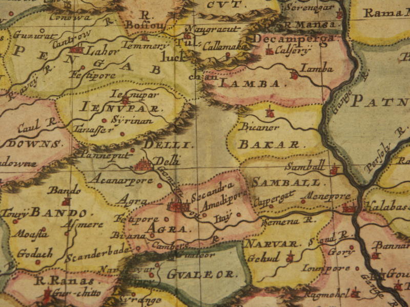
From a miniature map by Nicholas Sanson, Paris, 1683 [1652]
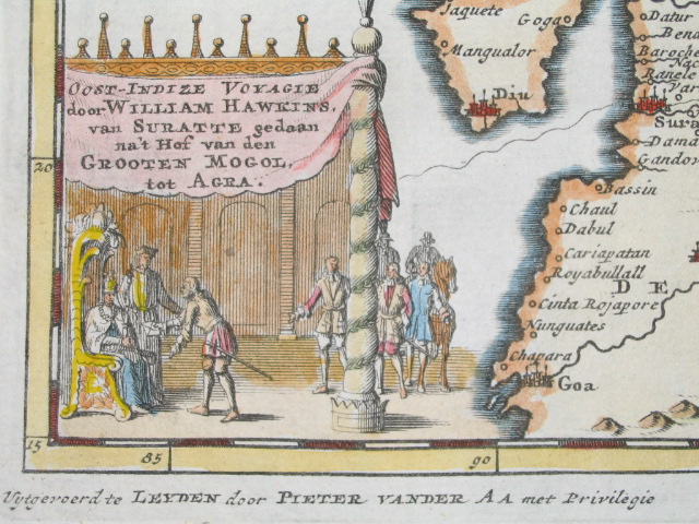
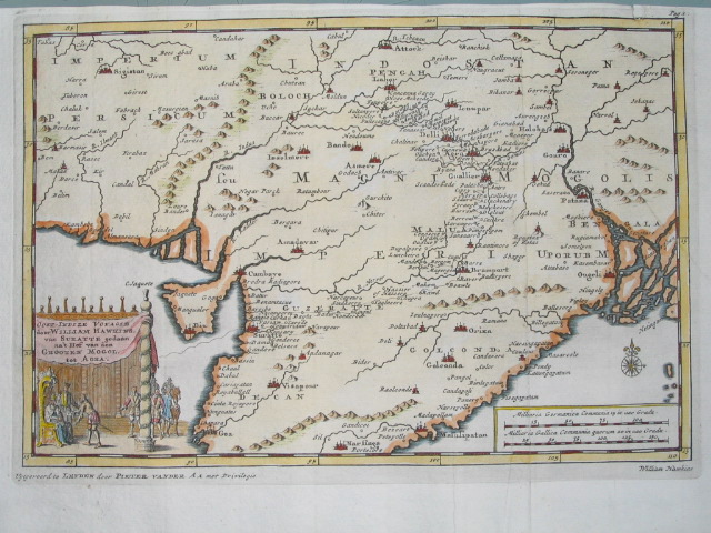
From a map by Pierre Vander Aa, in 'Voyagien der Engelsen', Leyden, 1706; *the cartouche*; *the whole map*
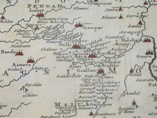
From Isaac Tirion's "Nieuwe en Beknopte Hand-Atlas," Amsterdam, 1744 (with modern hand coloring)
From a French map by Rigobert Bonne, 1762
*From a Dutch version of Isaak Tirion's 'Hand Atlas', Amsterdam, 1769 (with later hand coloring)*
From a map engraved by Thomas Bowen and published by J. Cooke, London, 1778
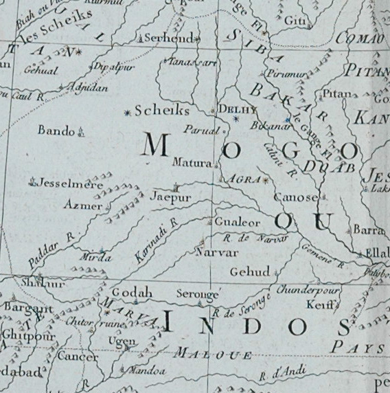
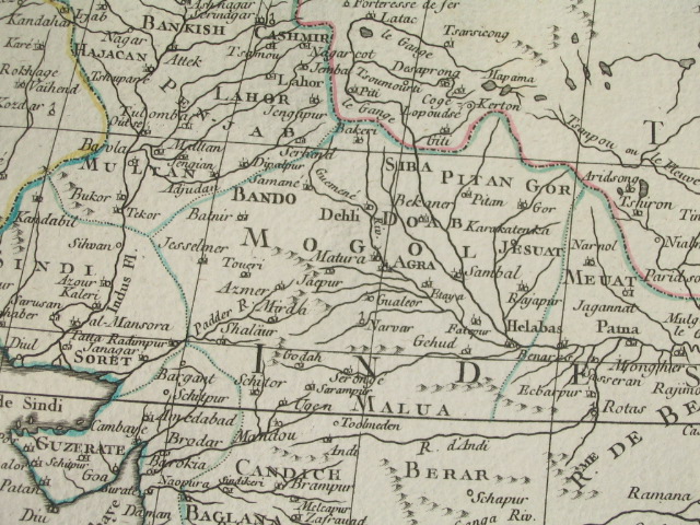
From Bonne's map of North India, c.1780
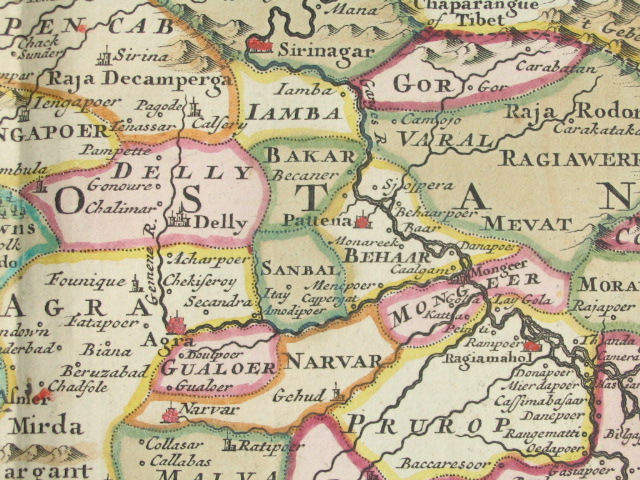
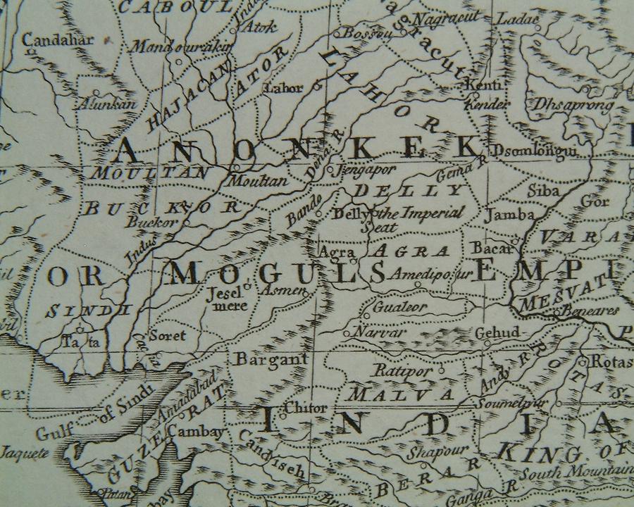
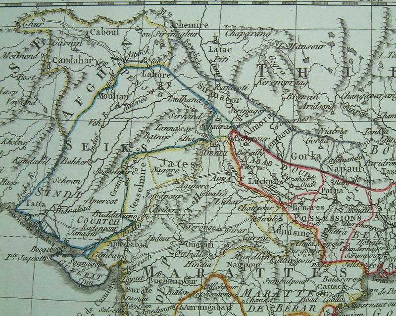
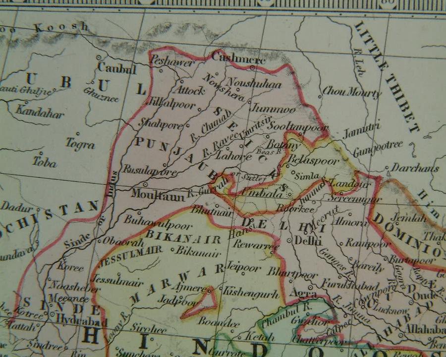
From an English atlas map by J. Russell, 1801
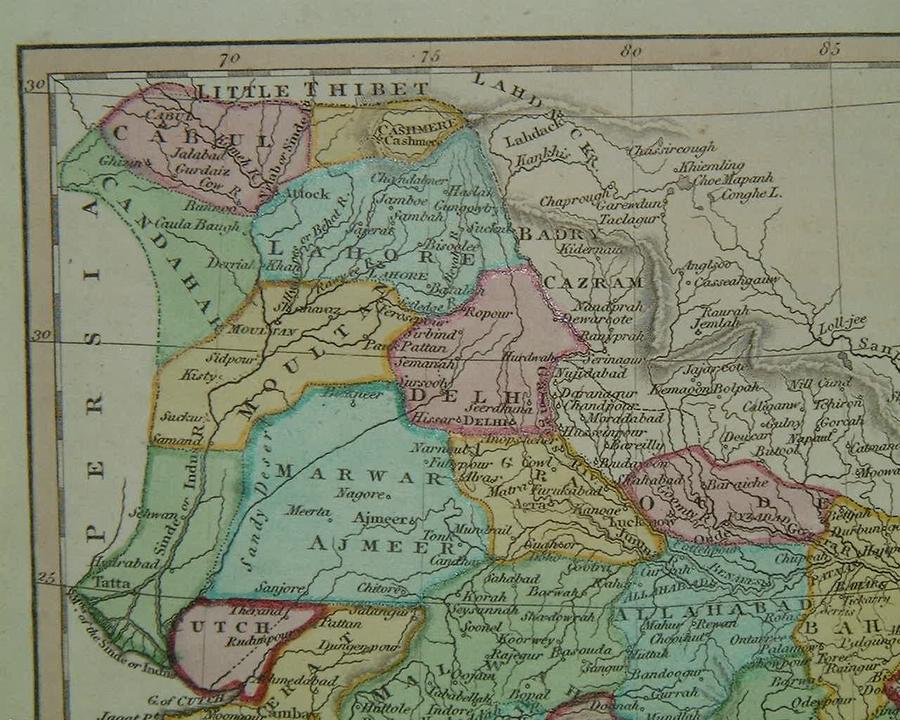
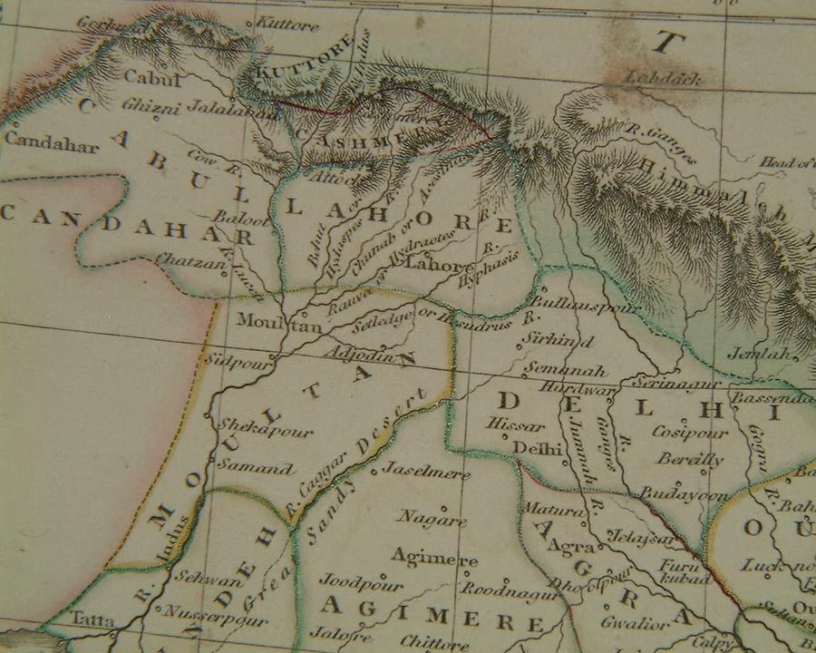
*The Delhi region, 1808, from a map by Samuel John Neele, published by Longman & Co., London*
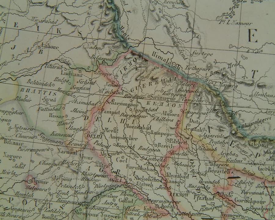
The Delhi region, 1814, by John Russell; published by Nuttal, Fisher & Co., Liverpool
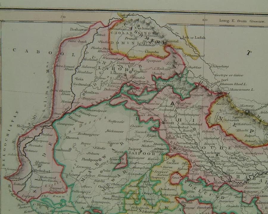
*The Delhi region, 1829, by Pierre & Alexander Lapie, published by Emery, Fruger et Cie., Paris*
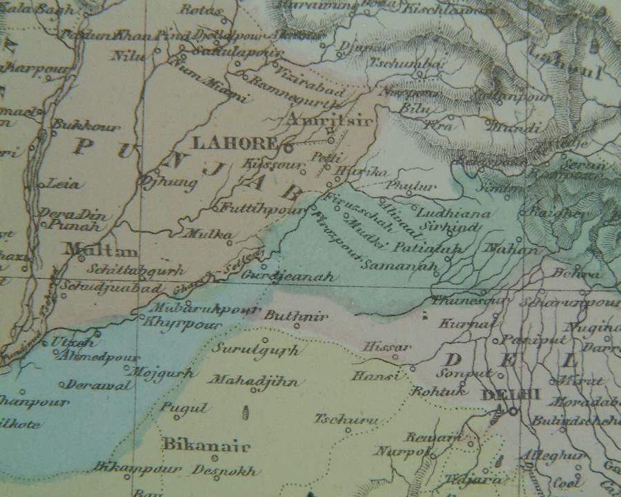
*The Delhi region, 1863, from a map published in The Weekly Dispatch, London*
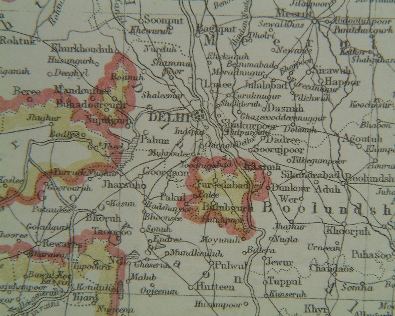
*The Delhi region, 1865, from "An Atlas of Modern Geography" by James Wyld, London*
**MODERN MAPS OF THE DELHI REGION**
*MAPS c.1500-1750* -- *MAPS c.1750-1900* -- *MAPS*